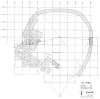
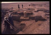
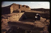
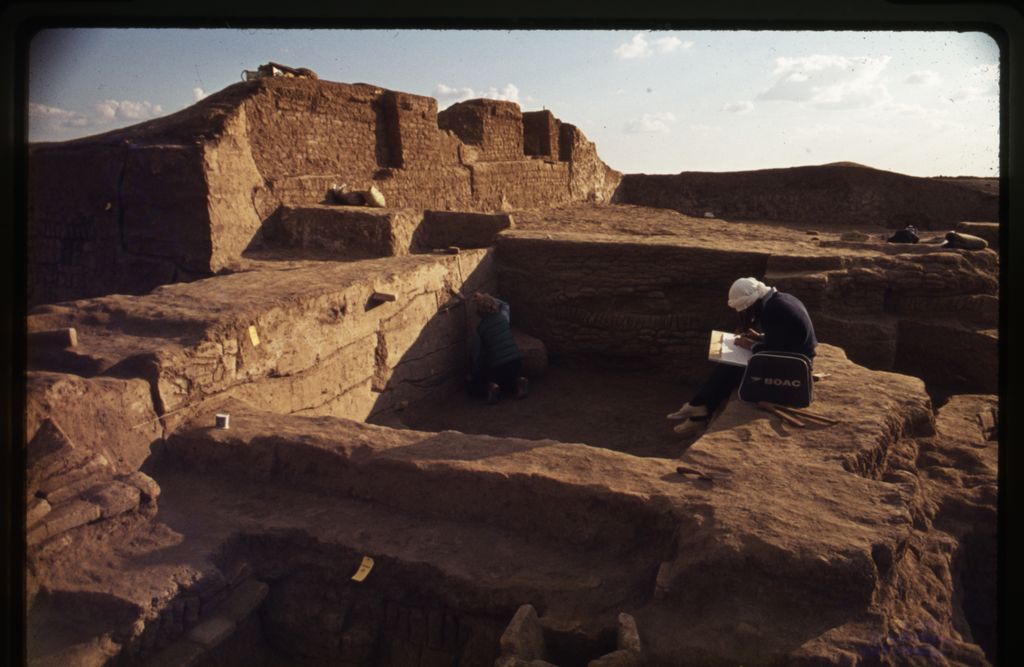
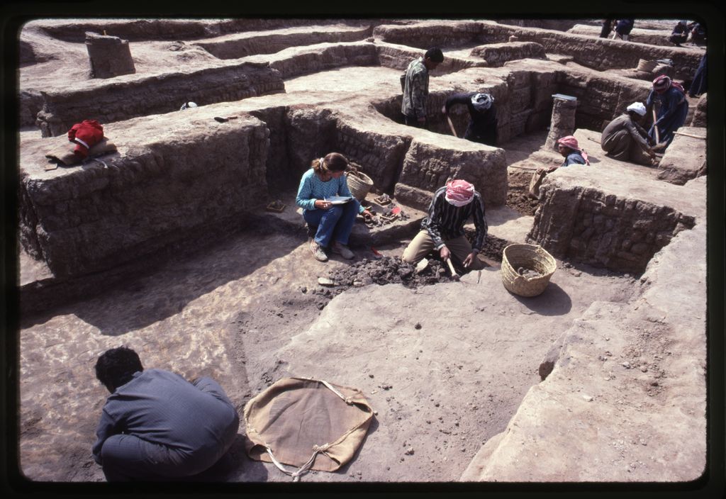
History of Excavations
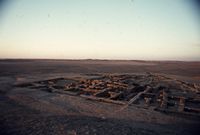
Directed by Dr. Donald P. Hansen and Dr. Vaughn Crawford, The Al-Hiba Expedition, a joint-project of the Institute of Fine Arts at New York University and the Metropolitan Museum of Art, completed six seasons of excavation at Tell al-Hiba (ancient Lagash), located in Dhi Qar province in southern Iraq, between 1968 and 1990. The mound of al-Hiba is approximately 3,600 m in length and 1,900 m in width at its largest extent. The highest point of the mound, located near the central-west edge of the site, is roughly six meters above plain level. In this area, occupation lasted into the Isin-Larsa/Old Babylonian Period (ca. 2000-1600 BCE). However, surface remains over the rest of site indicate that it was one of the largest cities in southern Iraq during the second half of the Early Dynastic III Period (ca. 2600-2350 BCE).


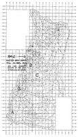
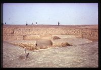
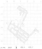
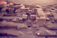
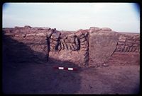
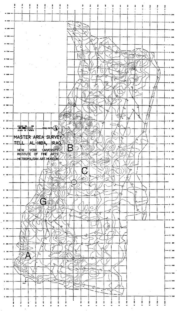
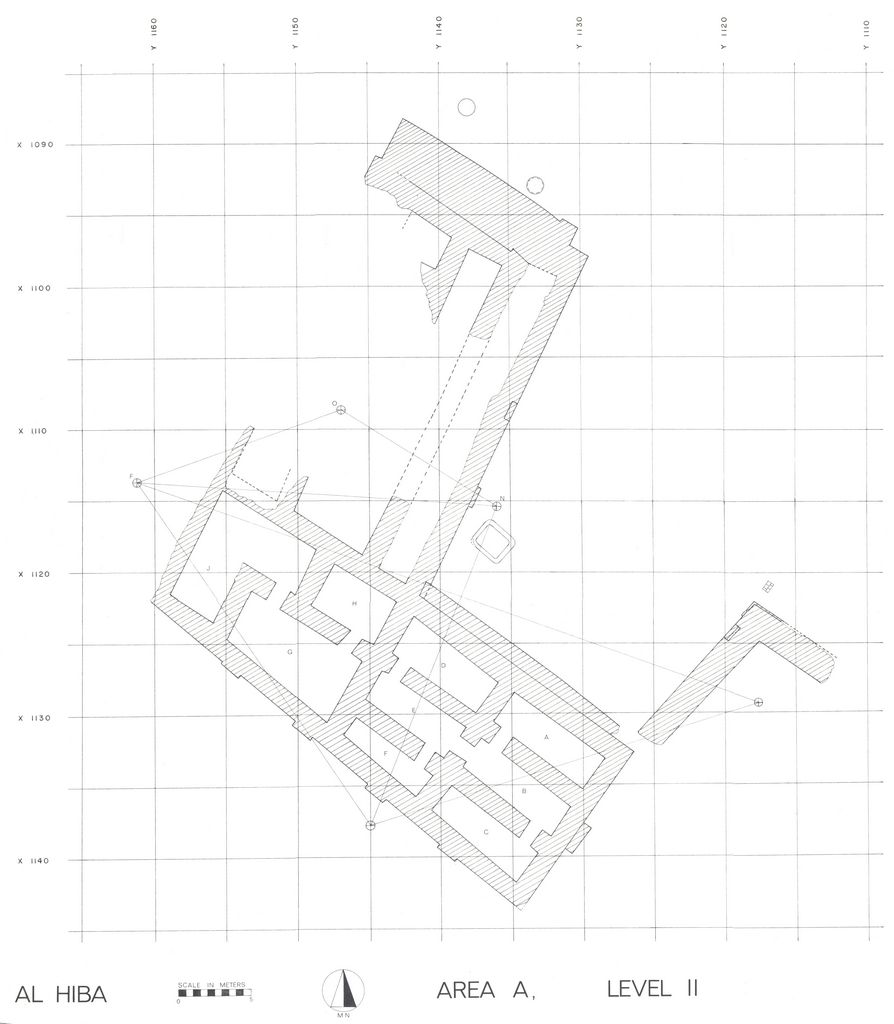
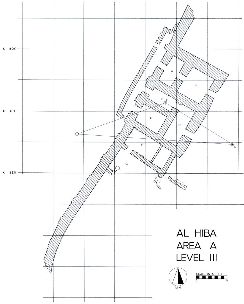
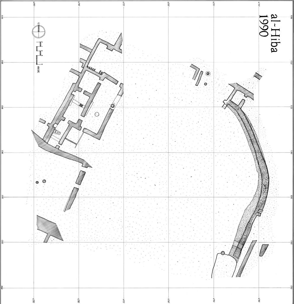
The expedition conducted work in four areas of the site: Area A, Area B, Area C, and Area G. Excavation in Area A, located at the southwest corner of the site, began in 1968 and lasted until the very beginning of the third season. Hansen's work here uncovered three building levels of the Ibgal, a temple oval dedicated to Inana. A sounding dug from the earliest level of the temple, Level 3, reached the water table. In it, the excavators identified nine building levels. Based on the pottery, all nine levels are Early Dynastic with the lowest level dating to an early phase of ED I.
Level 3 was only partially excavated, but the architectural remains included a niched-and-buttressed wall with three doorways. Two of these led indirectly into the interior of the complex while the third provided access to an isolated room. Based on parallels with Level 1, these doorways were likely the main entrance into the structure.
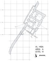
The Level 2 building was largely destroyed by the construction of the Level 1 temple. As a result, little is known of Level 2 except its layout. The recovery of a niched-and-buttressed wall may indicate that the excavators uncovered the southern edge of this complex.
Level 1, the topmost building level, dates to the reign of Enanatum I, whose foundation deposits were found incorporated into the lowest layers of the brickwork. Erosion had almost entirely destroyed the living spaces of the building, leaving only the substructure. The Level 1 foundations consisted of thick walls enclosing variously-sized rectangular spaces. Broken pieces of alluvial mud and layers of sand filled these spaces and they were capped by one or more courses of mud brick at or near the tops of the walls. The end result was a platform that appeared solid, but actually contained a network of filled cavities, all underlain by a layer of sand. The relationship between the network of spaces in the foundations and the now vanished superstructure is unclear. Dr. Hansen suggested that the layout of the filled spaces within the platform may have corresponded to the layout of the buildings built upon it.
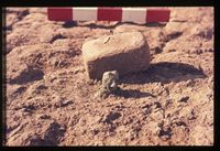
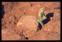
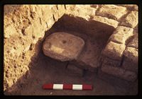
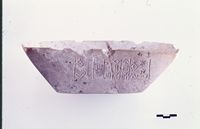
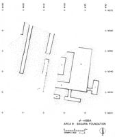
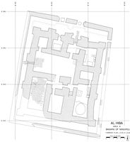
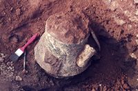
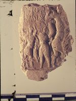
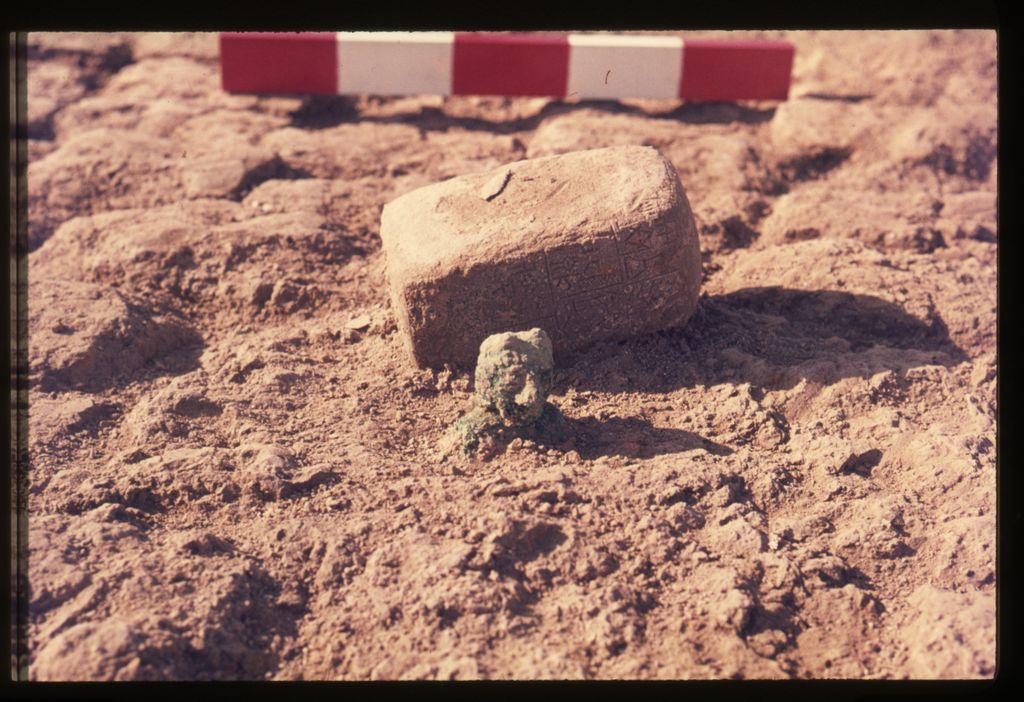
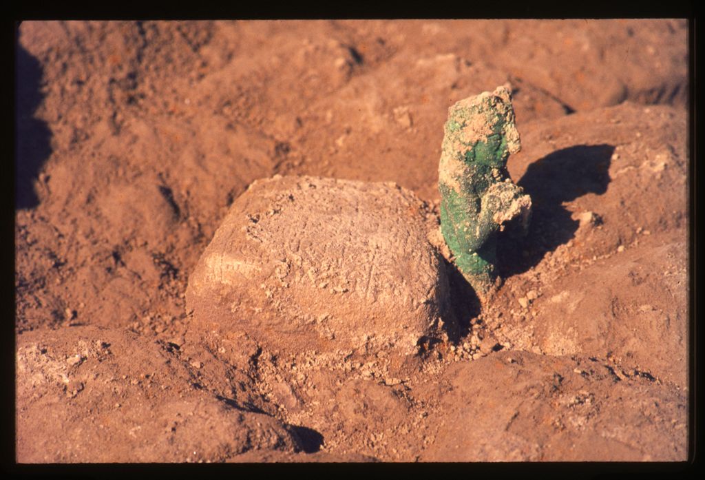
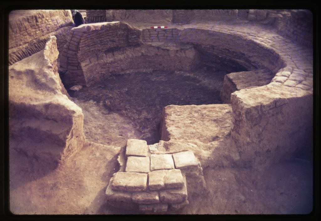
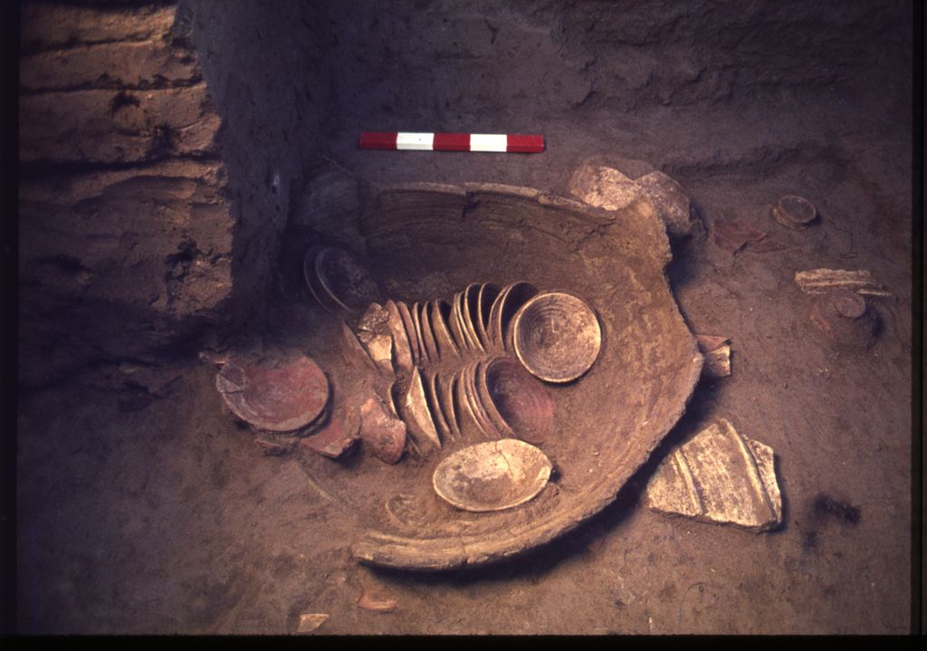
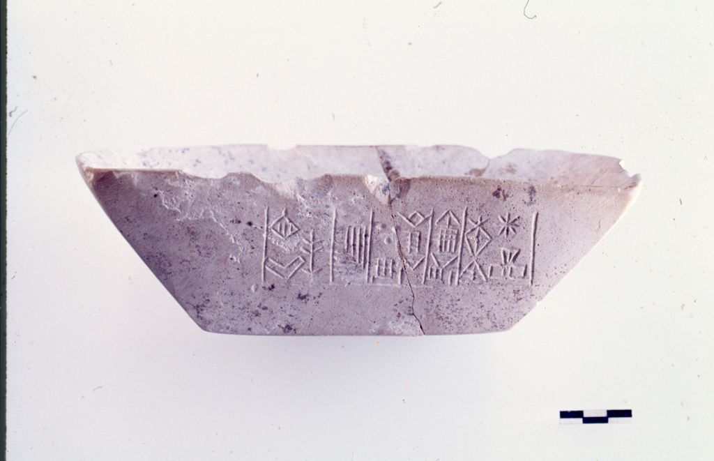
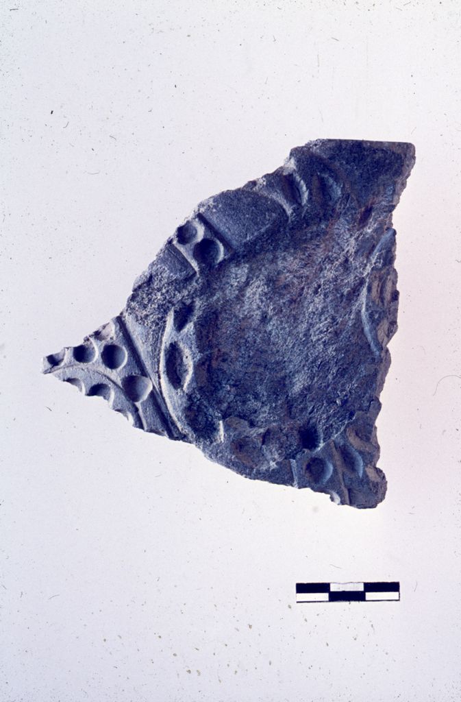
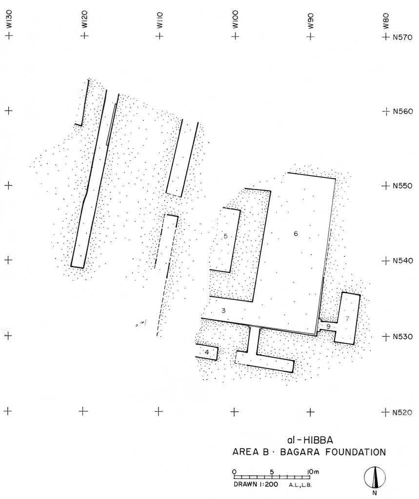
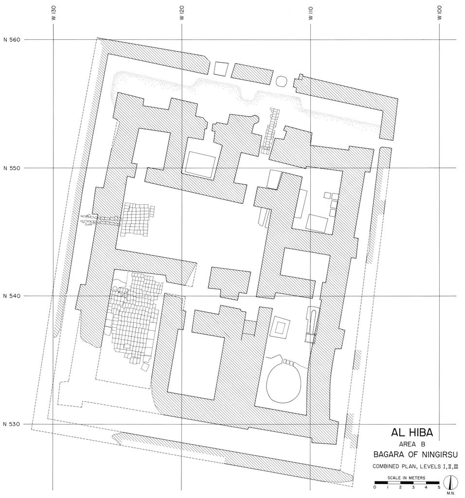
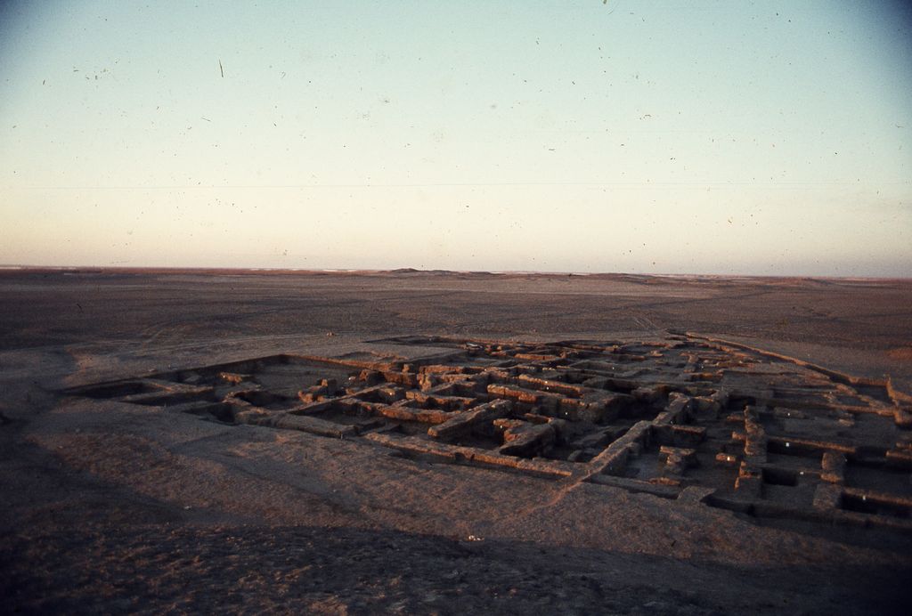
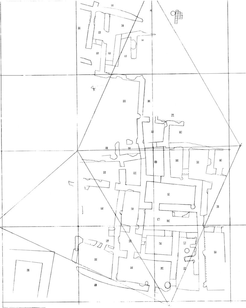
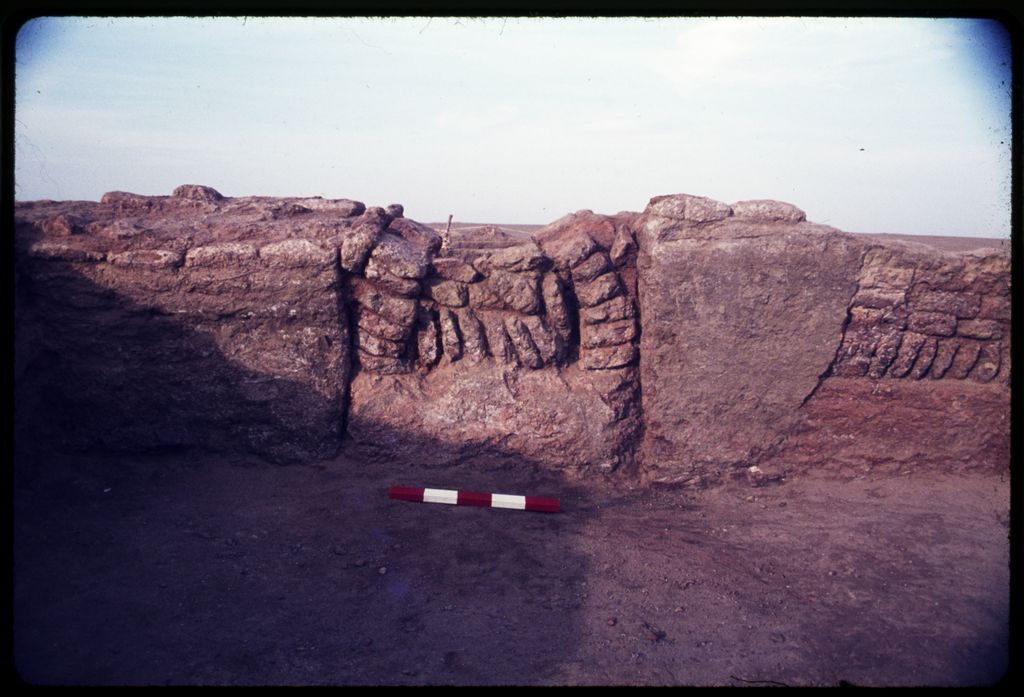
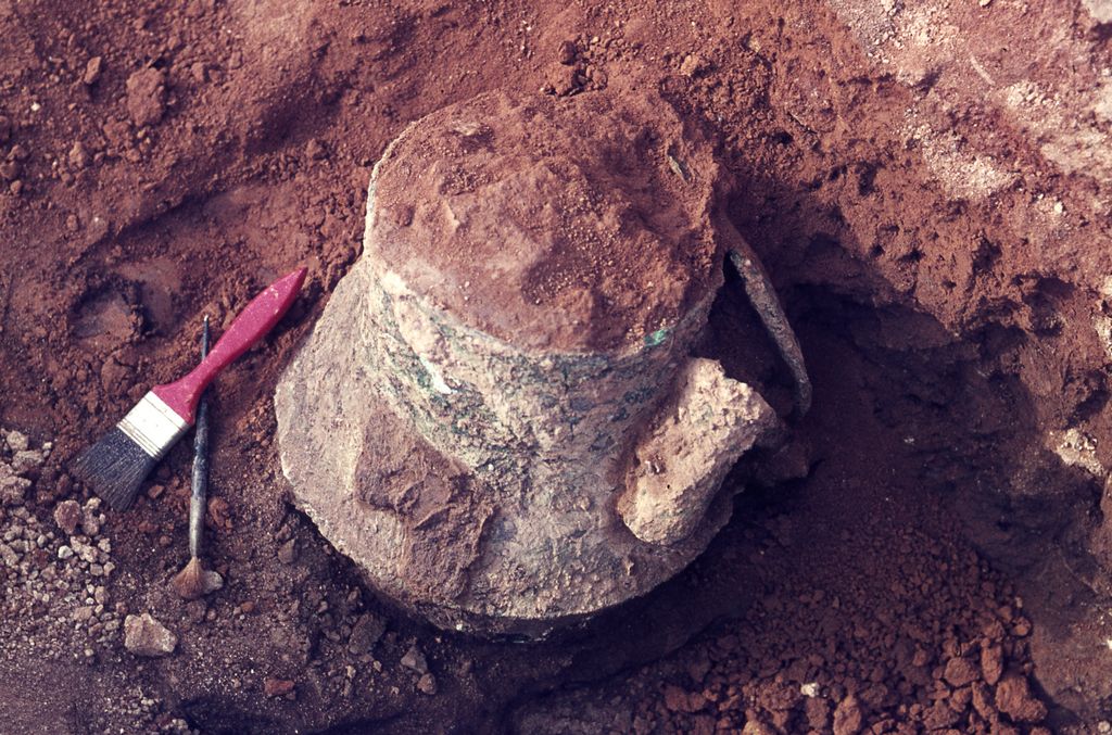
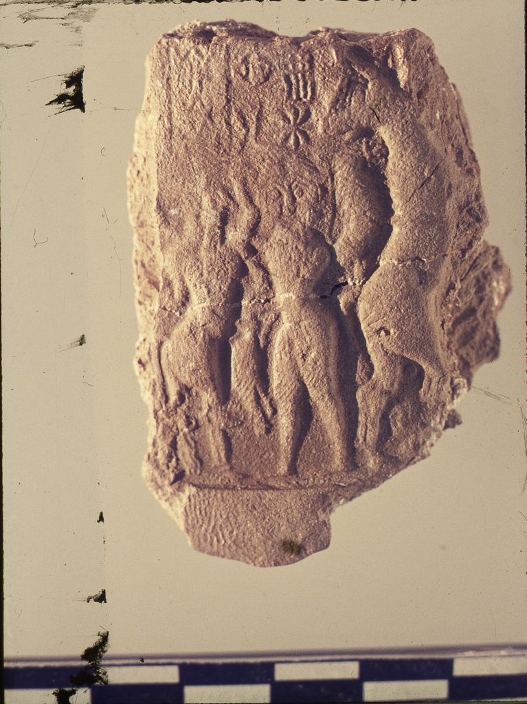
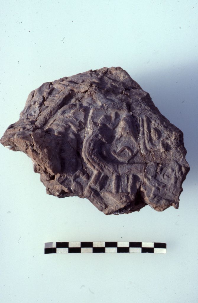
Area B is located roughly 1500 m northeast Area A. In this zone, the expedition partially uncovered the Early Dynastic III and Isin-Larsa/Old Babylonian remains of a temple complex known as the Bagara of Ningirsu, the head of the Lagash state pantheon. The Early Dynastic III remains consisted of two adjacent buildings. The western building was a niched-and-buttressed structure within a low enclosure wall. Near the entrance to the building was a bent-axis room with a podium. The finds within this building included multiple inscribed stone bowls, maceheads, and seal impressions. An inscribed dagger from the earliest excavated level bore the name of Eanatum, the third ruler of the Lagash I dynasty. On the basis of its size and the presence of multiple ovens in the rooms of the complex, Dr. Hansen suggested that this structure was a temple kitchen dedicated to servicing the needs of the main shrine of Ningirsu, located elsewhere in the Bagara complex. To the east, the project exposed three levels of another building with a large oven, baked-brick basin, and many ceramic vats. Fragments of a Gudea-period building were preserved above. The excavators interpreted this structure as a brewery.
Above the Early Dynastic III remains were the baked-brick foundations of the Isin-Larsa/Old Babylonian version of the temple. These construction of these foundations had removed all but a little of architecture in the area that post-dated the Early Dynastic III period. Due to erosion, almost none of the architecture from the “living” levels of the complex were preserved.


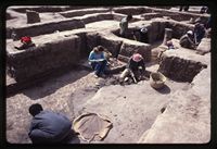
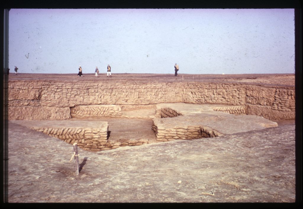
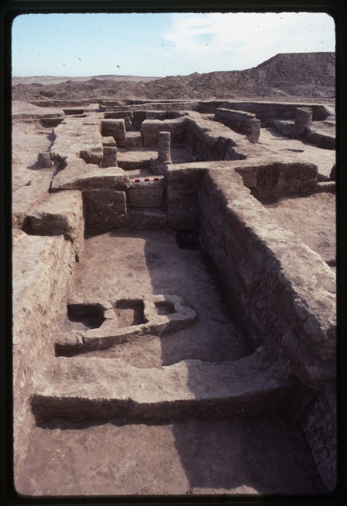
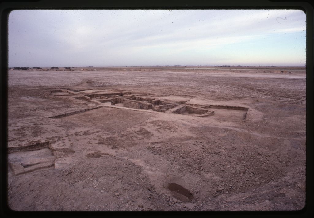
Excavation in Area C, located 360 m southeast of Area B, occurred entirely during the second season. The excavators were first drawn to the area due to the visibility of burned plano-convex brick on the mound’s surface. Although they initially expected to find tombs, they instead exposed a large complex of rooms with a surface area of around 1000 m that dates to ED IIIB. Two building levels, IA and IB, were uncovered. During Level IB, the building developed in an agglutinative manner that resulted in warrens of rooms in a variety of sizes. Rather than regularize the building in Level IA, the builders largely preserved the layout of Level IB in their reconstruction.
This complex contained a large number of seal impressions and tablets. In Level IB, seal impressions and tablets signal activity during the reigns of Eanatum, Enanatum I, and Enmetena. Level IA has less conclusive evidence, but it likely dates from the reign of Enmetena and his immediate successors.
In their preliminary report, the excavators suggested that this complex may have had an administrative function. Dr. Zainab Bahrani later analyzed the structure for her dissertation. She concluded that the complex may have been a craft workshop with different sectors devoted to metalworking, wool processing, reedworking, and possibly scribal education.

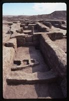
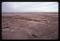
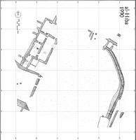
Area G is located around 800 m southwest of Area B along the western edge of the mound. The expedition spent three seasons (3H, 4H, and 6H) in this area, where they uncovered extensive ED I deposits. The work focused on two zones separated by about 20 m. The architecture in these two areas was never connected archaeologically.
During 3H and 4H, work occurred in the east zone. The whole area had been cut by pits, intrusive vertical drains, and later burials, but the levels from which these came had eroded away. Beneath the surface, the excavators uncovered a 2 m-wide north-south running wall that curved towards the northwest. This wall was set upon a foundation and had drains at the base of it. Along the east side, a smaller complex of rooms was exposed, which persisted through multiple building levels. A sounding conducted in 4H extended down to the water level and exposed 7 m of ED I deposits.
In 6H, the 2 m-wide wall was traced further north and a complex of rooms was uncovered in a zone to the west. At the northern end of the curving wall, a smattering of architecture, including a small room, was exposed. Further west, the excavators dug more extensively. In the western complex, they uncovered 5 building levels (BL A—D). The earliest level (BL A) was only exposed in a few small areas, so little is known about it. Starting with BL B, the general form of the complex was set and would remain similar for the rest of the building levels. The complex was rebuilt in BL C, but some dividing walls were removed in order to create a number of larger spaces. During BL D, a large courtyard was built on the southern end. The north and east sides of the courtyard were bounded by two thick brick walls. The northern wall cut through some of the BL C walls and rested upon a foundation that was similar to that seen in the curving wall in the eastern section. Despite the disruption caused by the construction of the southern courtyard, the rooms to the north continued to be used at this time. Finally, BL E is badly preserved due to erosion, but the parts identified suggest that the complex retained a similar layout to that seen in BL D.
The nature of the remains exposed in Area G are unclear. Their size suggests an institutional affiliation. The material culture found within does not provide much insight. However, seal impressions recovered in BL B and BL C indicate a connection between the complex and access to goods controlled by an administrative authority.
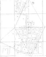
In addition to excavation, a team led by Dr. Elizabeth Carter conducted a survey of the site in 1984. This documented extensive Early Dynastic III occupation and recorded evidence for the existence of distinct zones of craft production.